


![]() Press release
Press release
113KB
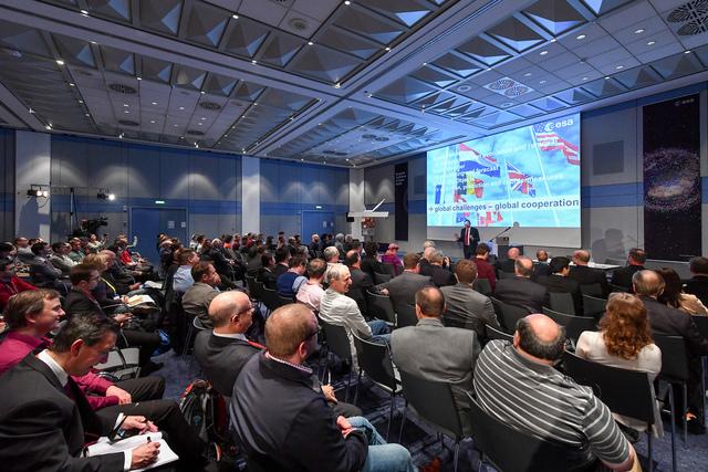
17 January 2017 Brad Parkinson, hailed as the father of GPS, has visited ESA’s technical heart to meet the team behind Europe’s Galileo satellite navigation system. Brad Parkinson was awarded the 2016 Marconi Prize for his part in developing satellite navigation. In 1972, then a US Air Force Colonel, he was put in charge of ‘Program 621B’, which became the Global Positioning System. Over one long September weekend in 1973 he and his team decided all key GPS elements. The first satellite was launched in February 1978. Paul Verhoef, ESA’s Director of the Galileo Programme and Navigation-related Activities, invited Prof. Parkinson to ESA’s facility in the Netherlands to address the Directorate’s annual gathering on 11 January. Also present were members of the European Global Navigation Satellite System Agency – set to oversee newly operational Galileo services – and the European Commission. Prof Parkinson congratulated the Galileo team on their achievement: “Back around the turn of the century, there were elements in the US government who were extremely opposed to Galileo. I didn’t see it that way. GPS satellite “Instead, I regarded it as largely inevitable, and that another constellation of reliable navigation satellites would be of enormous value to users across the entire world. That’s really the noble goal behind all this, not GPS or Galileo individually, but PNT – providing position, navigation and timing services to everyone. “I was privy to some early discussion on Galileo, and there were some Europeans saying they didn’t want anything like GPS. But there were a number of experts pointing out all the time and effort that had gone into defining GPS and frankly they responded that the GPS system was pretty near optimal. “Today, all four current constellations work much the same way. Even the Russians, with Glonass, who went with a different signal structure – using Frequency Division Multiple Access with separate satellites using different frequencies – are moving towards the Code Division Multiple Access used by the other systems, meaning different satellites use the same frequencies with coding to differentiate them.” How satnav works GPS and Galileo utilise complementary signal modulations to enable seamless combined use. Negotiations are under way to provide the US government with access to Galileo’s Public Regulated Service, the most precise and secure class of Galileo signal. Satellite navigation has come far from its military origin: there are billions of satnav receivers in use today. Prof. Parkinson is not surprised: as a Professor at California’s Stanford University, he and his students pioneered many applications, including the first GPS-steered tractor for precision agriculture, and a blind GPS-guided aircraft landing back in 1992. “There are misapprehensions on this, but from day one GPS was conceived as a military/civil system – I testified to Congress accordingly back in 1975. Galileo satellites “The sheer diversity of uses has been surprising. Surveyors were early adopters, with land surveying that used to take days or weeks being performed within hours, while geologists have gained enormous understanding of earthquakes and the like by measuring ground motion of a few millimetres annually. “Looking ahead, within 15 years many human-operated vehicles – automobiles, trucks, aircraft and ships – will be self-driving, with one essential element being satellite navigation.” One pleasant surprise has been the extremely precise ranging achieved through ‘realtime kinematics’ and other advanced signal processing methods. But Prof. Parkinson warned that such achievements will be at risk if adjacent radio frequencies are turned over to terrestrial users, potentially leading to overlapping interference several billion times stronger than the faint satellite signals. “It’s a creeping obligation, internationally, to defend the radio spectrum in order to assure PNT to users worldwide, in order to nurture and support new uses of satellite navigation.”

Brad Parkinson
![]() 960x640, 104KB
960x640, 104KB
Galileo satellites
![]() 1200x771, 148KB
1200x771, 148KB
GPS satellite
![]() 2100x1644, 2MB
2100x1644, 2MB
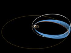
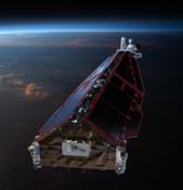
How satnav works
![]() 1022x629, 45KB
1022x629, 45KB
![]() Press release
Press release
113KB
Related news |
||
|
|
|
may 03, 2017
|
april 28, 2017
|
april 26, 2017
|
|
Bricks have been 3D printed out of simulated moondust using concentrated sunlight – proving in principle that future lunar colonis... |
Astronauts in space are valuable sources of scientific data. Researchers collect blood and urine samples to understand what effect... |
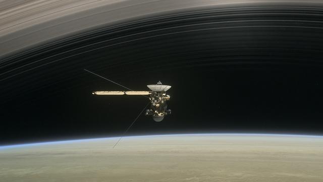
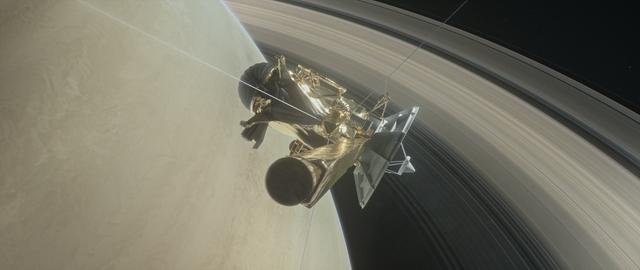
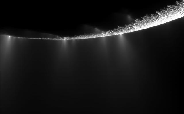
After nearly 13 years in orbit around Saturn, the international Cassini–Huygens mission is about to begin its final chapter: the s... |
You might be interested in |
||
|

|
|
april 21, 2017
|
march 24, 2017
|
march 23, 2017
|
|
With more than 750 000 pieces of dangerous debris now orbiting Earth, the urgent need for coordinated international action to ensu... |
From 27 February to 17 March 2017, Aoife van Linden Tol, a multimedia artist working primarily with explosive media who is the rec... |
Press release available only in original language. Information from ESA’s magnetic field Swarm mission has led to the discovery of... |
© Copyright 2024


 Share
Share Share via mail
  Automotive
 Sport
Sport Events
 Art&Culture
 Design
 Fashion&Beauty
 Food&Hospitality
 Technology
 Nautica
 Racing
 Excellence
 Corporate
 OffBeat
 Green
Green Gift
Gift Pop
Pop Heritage
 Entertainment
 Health & Wellness