
![]() Press release
Press release
25KB
Comunicato Stampa disponibile solo in lingua originale.
19 February 2016
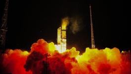
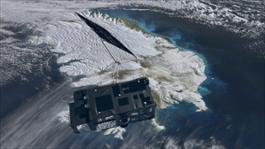
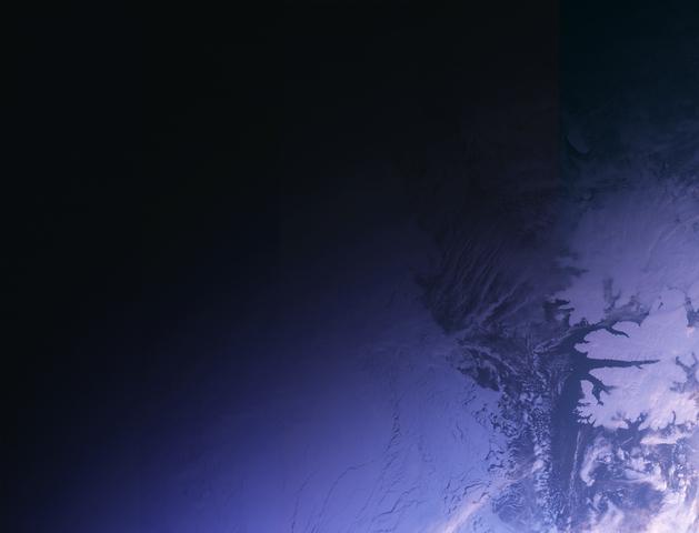
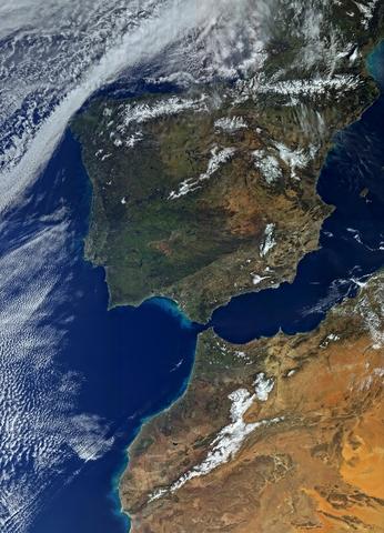
A surprising view of Sentinel-3A darting through the green flicker of the aurora borealis on its way into orbit has been captured on video from a hilltop in northern Finland.
The Sentinel-3A satellite lifted off from Plesetsk in Russia at 17:57 GMT (18:57 CET) on 16 February, about 1000 km away.
The footage appears to show the Rockot launcher as a very bright light scooting across the sky followed by a fainter spot, which could be either the jettisoned first or second stage of the rocket.
Clear skies and a good chance of seeing the aurora borealis, the ‘northern lights’, were forecast that night, so Antero Isola, a keen photographer of the aurora borealis , took his cameras to the Saujapahta hilltop near Karigasniemi and pointed the lens towards the north.
“A bright light came towards me from the east, and passed by to the north. It was a special moment with the aurora in the background,” Isola said.
Isola caught this rather spectacular sight just over six minutes after liftoff during the firing of the Breeze upper stage of the Rockot.
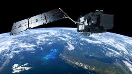
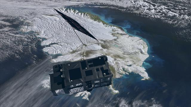
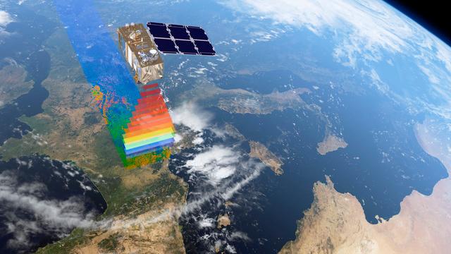
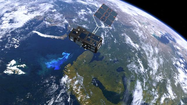
Now safely in orbit around Earth, the mission operations team at ESOC, ESA’s European Space Operations Centre, Darmstadt, Germany, are keeping a close eye on Sentinel-3A during the next few days of its ‘launch and early operations phase’.
They will then spend the next five months commissioning the satellite to make sure everything is working correctly before it starts its life monitoring the health of our planet.
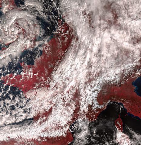
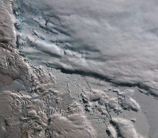
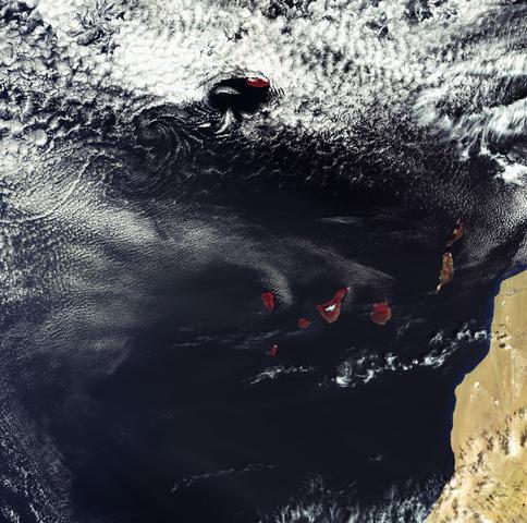
Once in routine service, it will be at the heart of operational oceanography. For example, it will monitor the health of our oceans and measure sea-surface height to follow ocean flow and surface waves – essential for safe marine operations. Such information will lead to better ocean and weather forecasts. It will also monitor sea-level change and diminishing sea ice in the Arctic.
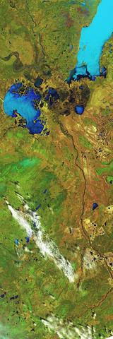
In addition, it will map the way land is used, track the state of vegetation, measure the height of rivers and lakes and detect wildfires.


![]() Press release
Press release
25KB
Related news |
||
|
|
|
may 20, 2016
|
april 06, 2016
|
march 08, 2016
|
|
Wildfires have been raging in Canada’s Alberta province for nearly three weeks, causing widespread destruction and forcing thousan... |
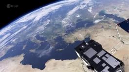
6 April 2016Despite only being in orbit a matter of weeks, Sentinel-3A has already delivered some impressive first images. With th... |
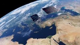
8 March 2016The three instruments on the Sentinel-3A satellite are now offering a tantalising glimpse of what’s in store for Europ... |
You might be interested in |
|
|
|
march 03, 2016
|
february 25, 2016
|
|
2 March 2016Just two weeks after launch, the latest Sentinel satellite has offered a taster of what it will provide for the EU’s C... |
Press release available only in original language. 25 February 2016Each year, about a quarter of the carbon dioxide we release int... |
© Copyright 2024


 Italian
  Share
Share Share via mail
  Automotive
 Sport
Sport Events
 Art&Culture
 Design
 Fashion&Beauty
 Food&Hospitality
 Technology
 Nautica
 Racing
 Excellence
 Corporate
 OffBeat
 Green
Green Gift
Gift Pop
Pop Heritage
 Entertainment
 Health & Wellness