


![]() Press release
Press release
91KB
![]() Comunicato stampa
Comunicato stampa
95KB
Furuno is excited to announce a major #software update for their flagship Multi Function Display (MFD) line, NavNet TZtouch3. Version 2.01 #software is now available for free for all NavNet TZtouch3 MFDs, adding new functionality and enhancing existing features.
Among the host of new functionality version 2.01 #software brings to the MFDs are some ground-breaking new features, including the amazing PBG (Personal Bathymetric Generator) functionality for creating your own shaded relief maps of the seafloor with the DFF3D Multi-Beam Sonar.
PBG: Personal Bathymetric Generator
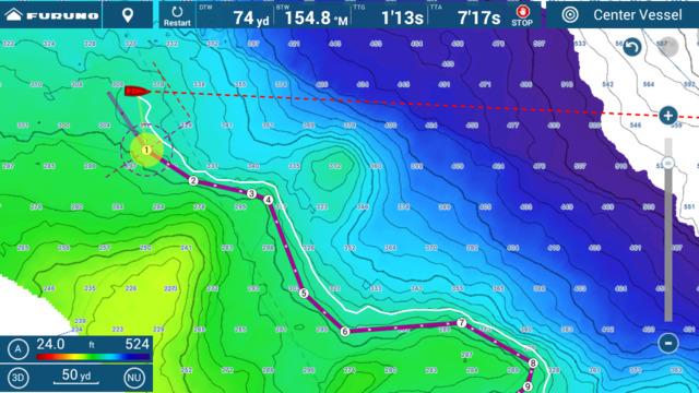
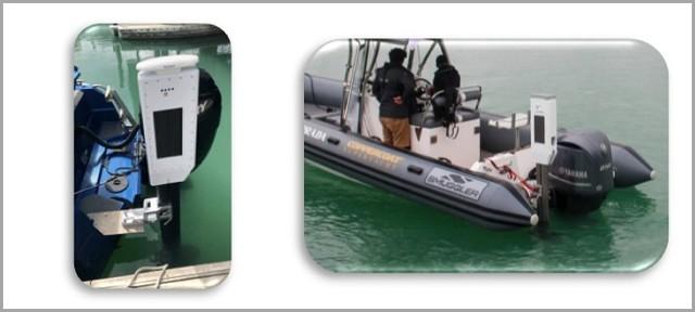
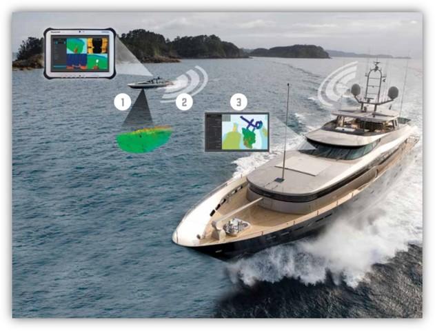
NavNet TZtouch3 users with the DFF3D Multi-Beam Sonar will be excited to learn of the new PBG functionality available in this #software update. PBG allows the operator to create custom high-resolution shaded relief charts of the seafloor using their DFF3D.
The operator can create accurate custom charts quickly and easily due to the 120-degree beamwidth of the DFF3D transducer. Instead of only one depth point per ping as seen on other manufacturer's units, the DFF3D produces over 50 depth points with each ping, resulting in fast and efficient custom charts stored locally on the TZtouch3 MFD.
How does PBG work?
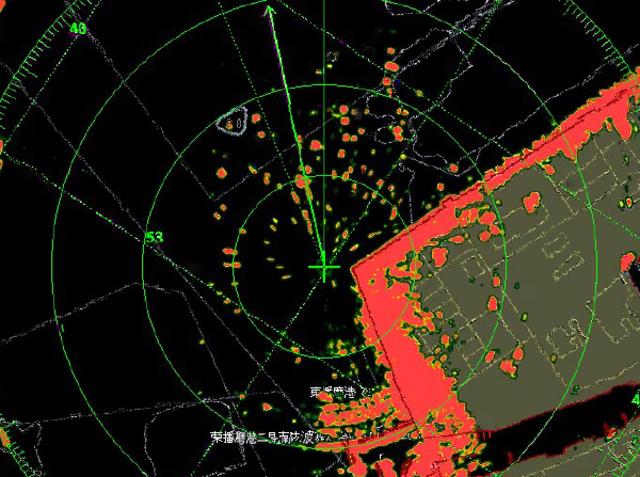
Bottom images are drawn with shaded relief, depth contours, and variable colors, making it easy to identify hidden structure and ridges that hold fish in a simple, easy-to-interpret presentation. Multiple color palettes are available, including the ability to show contour lines only. The area each ping covers is approximately twice the depth at the time of recording, so at a depth of 100 meters, a 200 meter-wide area is displayed and recorded to your NavNet TZtouch3 MFD.
TZtouch3's PBG incorporates inertially stabilized and tide-compensated calculations that result in highly accurate bottom mapping previously available only with elaborate, survey-grade acoustic measuring systems. While PBG is simple to use and the detailed bottom maps it produces are easy to understand at a glance, the engineers at #furuno spent years developing the hardware and #software to make it accurate and intuitive. Bottom mapping data is saved to the 256GB microSD card that comes in every NavNet TZtouch3 Multi Function Display - enough memory to store a lifetime of PBG data.
P.S.= PBG works with the NMEA Award-winning DFF3D Multi-Beam Sonar connected to a NavNet TZtouch3 TZT9F, TZT12F, TZT16F, or TZT19F MFD. To achieve maximum performance and precision of bottom mapping, it is recommended to interface Satellite Compass #furuno in addition to a correct calibration of the DFF-3D.
Further information in the press release to download

Feature-FishIt-Drift-It
![]() 993x625, 485KB
993x625, 485KB
Feature-PBG
![]() 773x665, 685KB
773x665, 685KB
Fish-It-Drift-It-screen-labeled
![]() 1200x675, 263KB
1200x675, 263KB
TZT3-Fish-It-Drift-It
![]() 1200x800, 958KB
1200x800, 958KB
TZT3Screen 2018 01 01 12 12 59
![]() 1280x720, 304KB
1280x720, 304KB
TZT3Screen 2018 01 01 13 33 45
![]() 1280x720, 1MB
1280x720, 1MB
TZT3Screen 2018 01 01 15 22 40
![]() 1200x675, 610KB
1200x675, 610KB
TZT3Screen 2018 01 02 07 09 15
![]() 1200x675, 260KB
1200x675, 260KB
TZT3Screen 2021 02 10 14 59 35
![]() 1280x800, 793KB
1280x800, 793KB
TZT3Screen 2021 02 10 14 59 43
![]() 1280x800, 797KB
1280x800, 797KB
TZT3Screen 2021 02 10 15 00 41
![]() 1280x800, 382KB
1280x800, 382KB
TZT3Screen 2021 02 10 15 42 25
![]() 1280x800, 374KB
1280x800, 374KB
![]() Press release
Press release
91KB
![]() Comunicato stampa
Comunicato stampa
95KB
Related news |
||
|
|

|
september 18, 2023
|
may 18, 2023
|
september 02, 2022
|
|
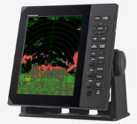
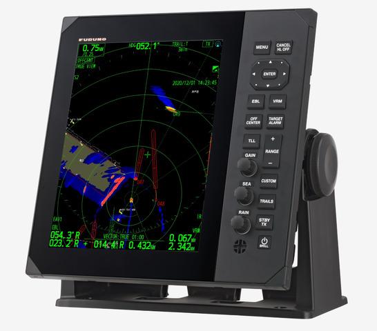
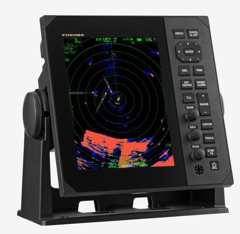
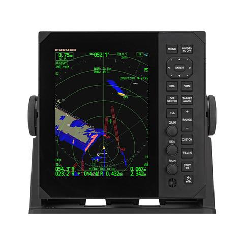
The FR-10 and the FR-12 10.4"/12.1" Color LCD Radars are Marine Radar displays consisting of a dedicated vertical display unit tha... |
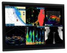
Over the years, #furuno has done an exceptional job listening to their customers by developing new software features and adding a ... |
The FR-10 and the FR-12 10.4"/12.1" Color LCD Radars are Marine Radar displays consisting of a dedicated vertical display unit tha... |
You might be interested in |
||
|
|

|
february 15, 2022
|
november 22, 2021
|
october 11, 2021
|
|
FURUNO Electric CO., LTD. is working on the demonstration trial and aiming to successfully put unmanned ship into practical use by... |
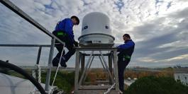
Last year, the first #furuno Doppler Weather Radar was recently installed in Italy in collaboration with HERA Emilia Romagna, an I... |
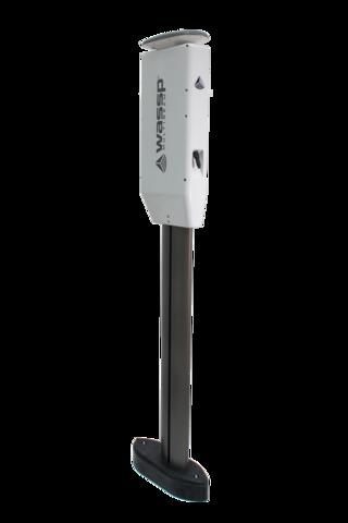
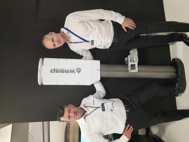
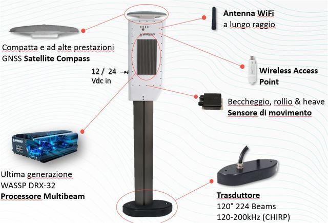
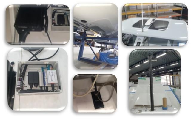
Furuno Italia is pleased to announce the release of the new W3P Wireless Multibeam Sounder with updated WASSP multibeam features i... |
© Copyright 2024


 Italian
  Share
Share Share via mail
  Automotive
 Sport
Sport Events
 Art&Culture
 Design
 Fashion&Beauty
 Food&Hospitality
 Technology
 Nautica
 Racing
 Excellence
 Corporate
 OffBeat
 Green
Green Gift
Gift Pop
Pop Heritage
 Entertainment
 Health & Wellness