


![]() press release
press release
15KB
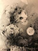
Just four days after being lofted into orbit, Europe’s Sentinel-2A satellite delivered its first images of Earth, offering a glimpse of the ‘colour vision’ that it will provide for the Copernicus environmental monitoring programme. With a swath width of 290 km, the satellite’s first acquisition began in Sweden and made a strip-like observation through central Europe and the Mediterranean, ending in Algeria. The data were relayed in real time to Italy’s Matera ground station, where teams eagerly awaited their arrival for processing. While northern and central Europe were mostly cloudy, Italy’s typical sunny weather allowed the teams to get their first glimpse of the multispectral instrument’s capabilities over the northwestern part of the country and the French Riviera – and they were excited by what they saw.
With a ground resolution of 10 m per pixel, the images show individual buildings in Milan, agricultural plots along the Po River, and ports along the southern French coast. “This new satellite will be a game changer in Earth observation for Europe and for the European Copernicus programme,” said Philippe Brunet, Director for Space Policy, Copernicus and Defence at the European Commission. The Director of ESA’s Earth Observation Programmes, Volker Liebig, commented, “Sentinel-2 will enable us to provide data for the programme’s land monitoring services and will be the base for a wide spectrum of applications reaching from agriculture to forestry, environmental monitoring to urban planning."
The multispectral imager is being calibrated during the commissioning phase – which will take about three months to complete – but the quality of these first images already exceeds expectations. In addition to demonstrating the imager’s high resolution, these initial data also foreshadow the mission’s land-monitoring applications in areas such as agriculture, inland and coastal waters and land-cover mapping. The imager’s 13 spectral bands, from the visible and the near infrared to the shortwave infrared at different spatial resolutions, take land monitoring to an unprecedented level. In fact, Sentinel-2 is the first optical Earth observation mission of its kind to include three bands in the ‘red edge’, which provide key information on the state of vegetation This weekend’s activities also demonstrated that the operational processor works flawlessly, paving the way for the mission’s systematic data generation to come. Sentinel-2A is the second satellite for Europe’s Copernicus programme, following the Sentinel-1A radar satellite launched last year. Designed as a two-satellite mission, Sentinel-2 will provide optical imagery on a five-day revisit cycle once its twin, Sentinel-2B, is launched in 2016.

French_Riviera
![]() 3002x1758, 4MB
3002x1758, 4MB
Milan_Italy
![]() 2849x2635, 8MB
2849x2635, 8MB
Northwest_Italy_and_southern_France
![]() 6500x6859, 8MB
6500x6859, 8MB
Po_Valley_Italy
![]() 2444x1629, 4MB
2444x1629, 4MB
![]() press release
press release
15KB
Related news |
||
|
|
|
may 03, 2017
|
april 28, 2017
|
april 26, 2017
|
|
Bricks have been 3D printed out of simulated moondust using concentrated sunlight – proving in principle that future lunar colonis... |
Astronauts in space are valuable sources of scientific data. Researchers collect blood and urine samples to understand what effect... |
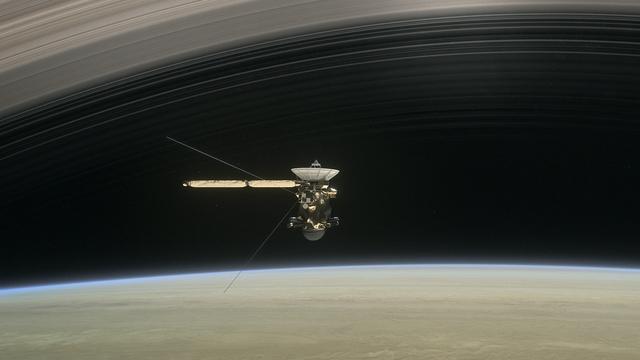
After nearly 13 years in orbit around Saturn, the international Cassini–Huygens mission is about to begin its final chapter: the s... |
You might be interested in |
||
|
|
|
april 21, 2017
|
march 24, 2017
|
march 23, 2017
|
|
With more than 750 000 pieces of dangerous debris now orbiting Earth, the urgent need for coordinated international action to ensu... |
From 27 February to 17 March 2017, Aoife van Linden Tol, a multimedia artist working primarily with explosive media who is the rec... |
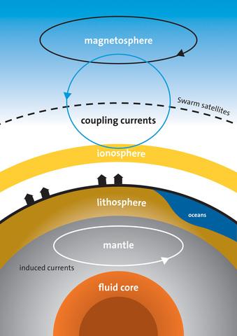
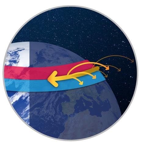
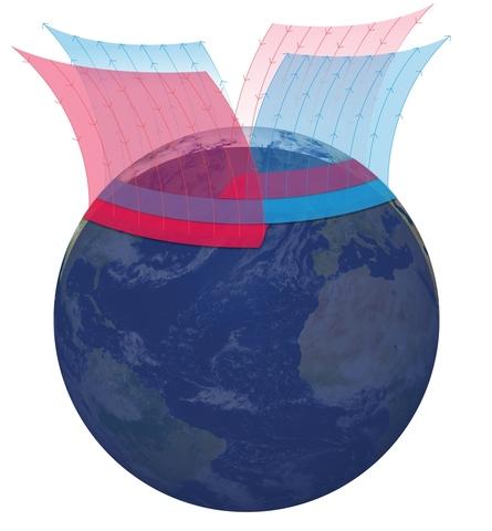
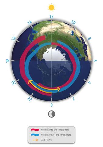
Press release available only in original language. Information from ESA’s magnetic field Swarm mission has led to the discovery of... |
© Copyright 2024


 Italian
  Share
Share Share via mail
  Automotive
 Sport
Sport Events
 Art&Culture
 Design
 Fashion&Beauty
 Food&Hospitality
 Technology
 Nautica
 Racing
 Excellence
 Corporate
 OffBeat
 Green
Green Gift
Gift Pop
Pop Heritage
 Entertainment
 Health & Wellness